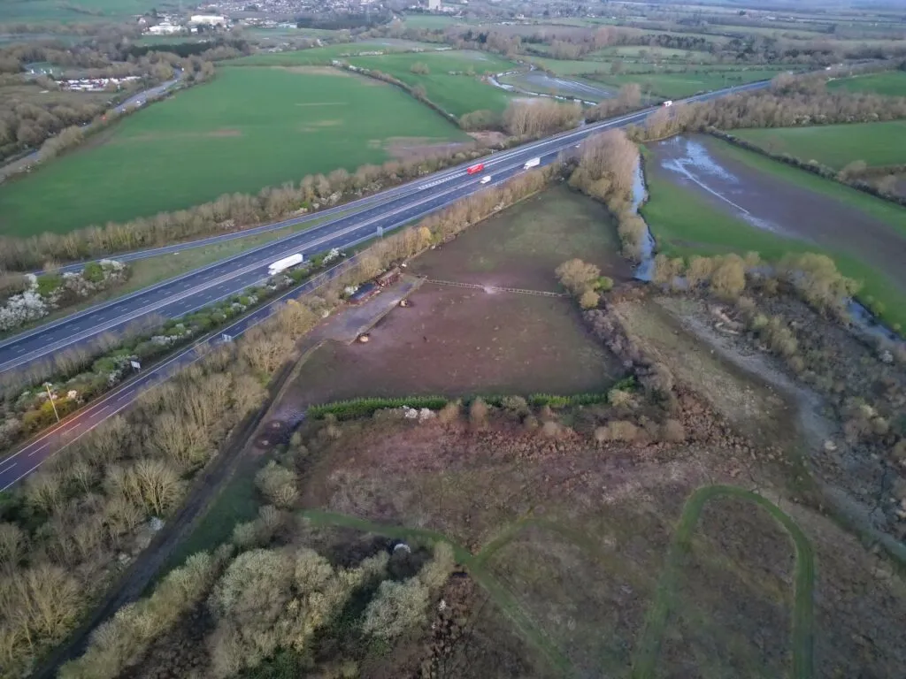
Arthian provides precision surveying services for complex sites across the UK, combining advanced measurement technologies with deep sector knowledge. Our surveys support planning, permitting, asset management and regulatory compliance, especially for COMAH, environmental and structural risk contexts.
We work across sectors including:
Distilling and drinks manufacturing
Chemicals, fuels and bulk liquids
Energy from waste and renewables
Pharmaceutical and food production
Infrastructure, utilities and industrial estates
What We Survey
Our team delivers high-accuracy data for land and site boundaries, underground utilities and buried services, topography, elevation and contours, storage tanks and bunds, buildings, structures and façades, and roads, rail and hardstanding assets.
Our Surveying Technologies
Specialist Survey Types
Our Surveying Technologies
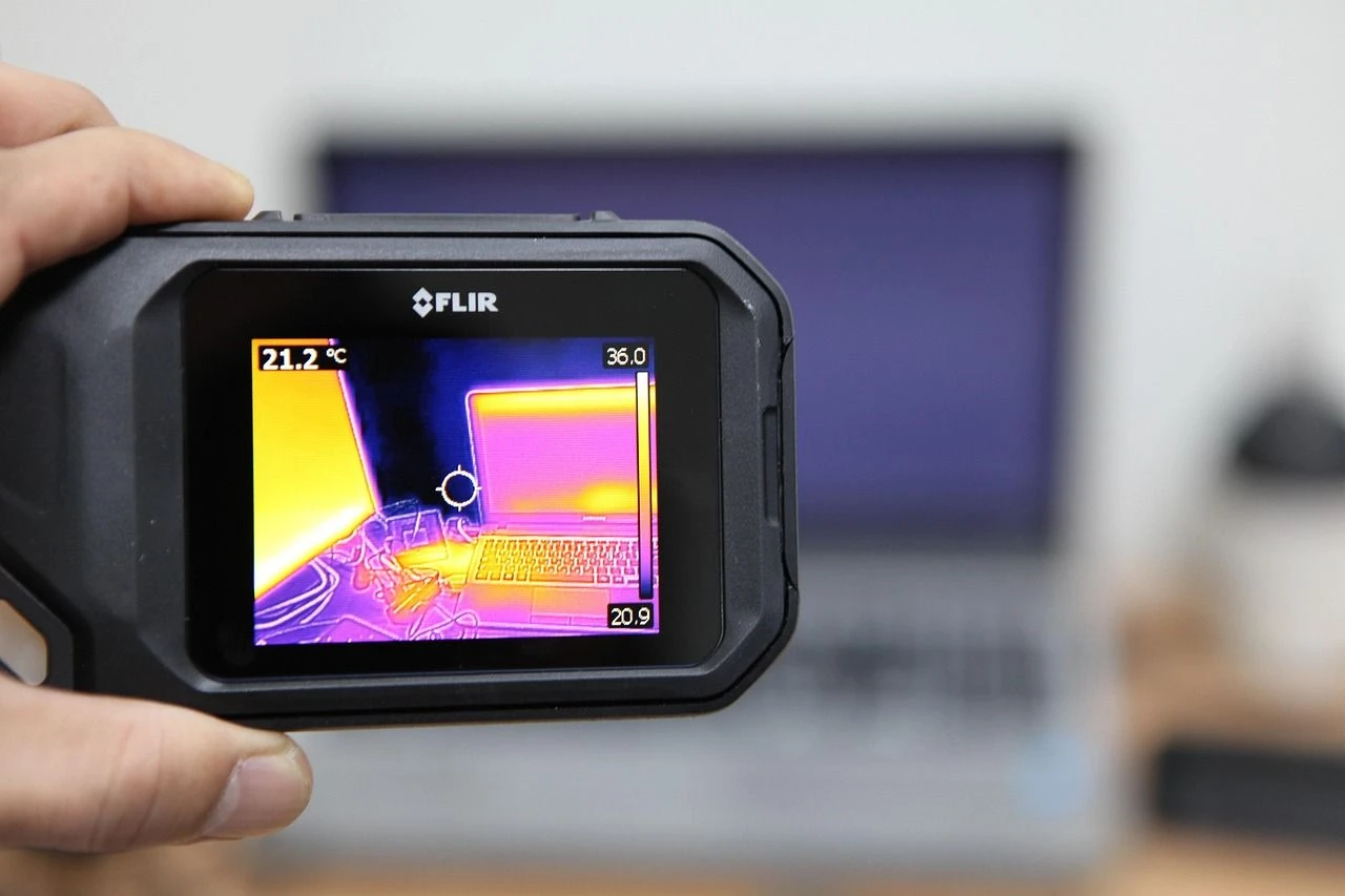
We use a range of technologies for our surveys, including:
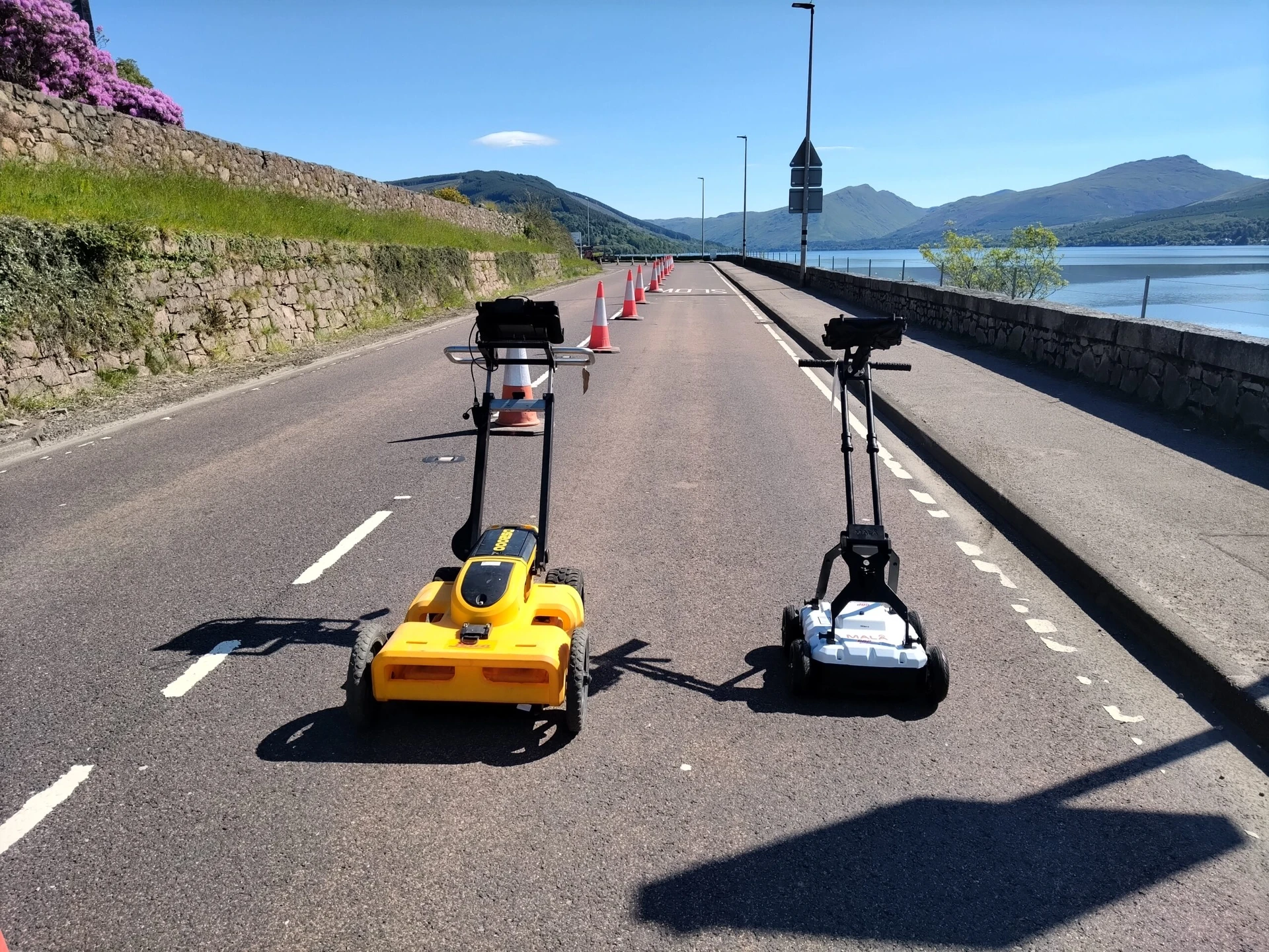
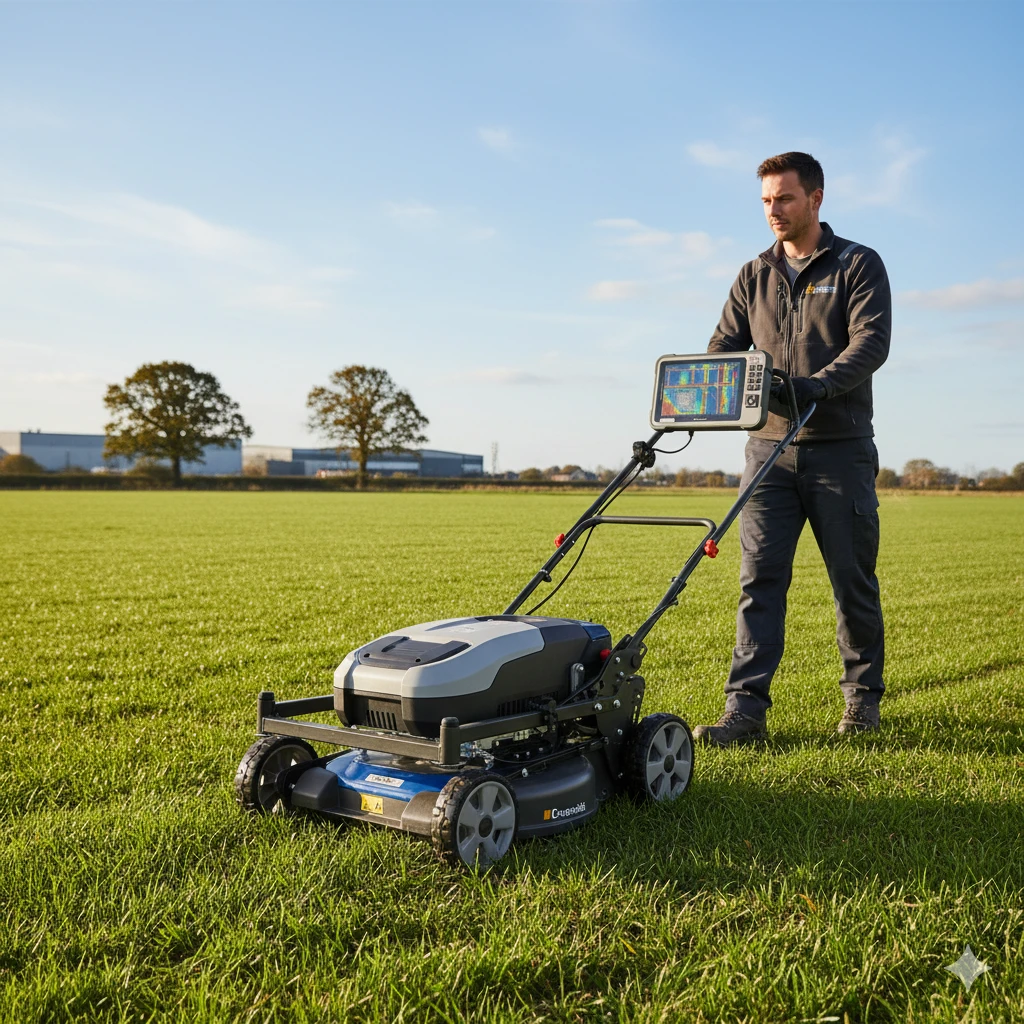
Ground Penetrating Radar (GPR) and PAS128 utility mapping
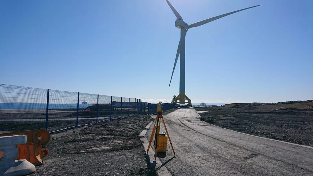
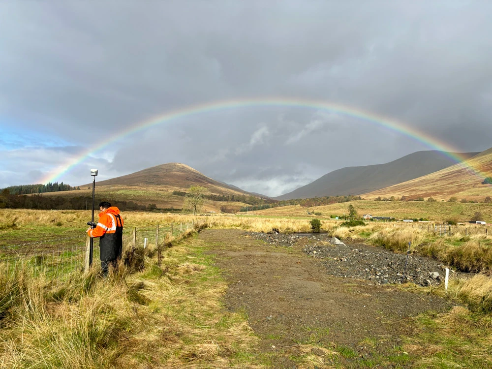
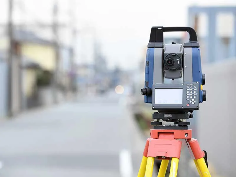
Total station and GNSS topographical surveys
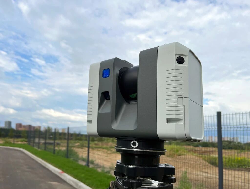
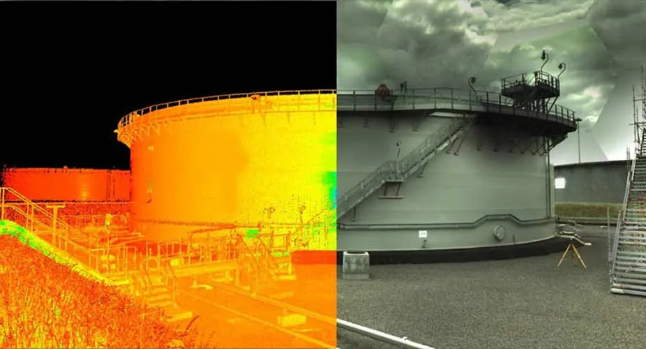
3D laser scanning and point cloud modelling
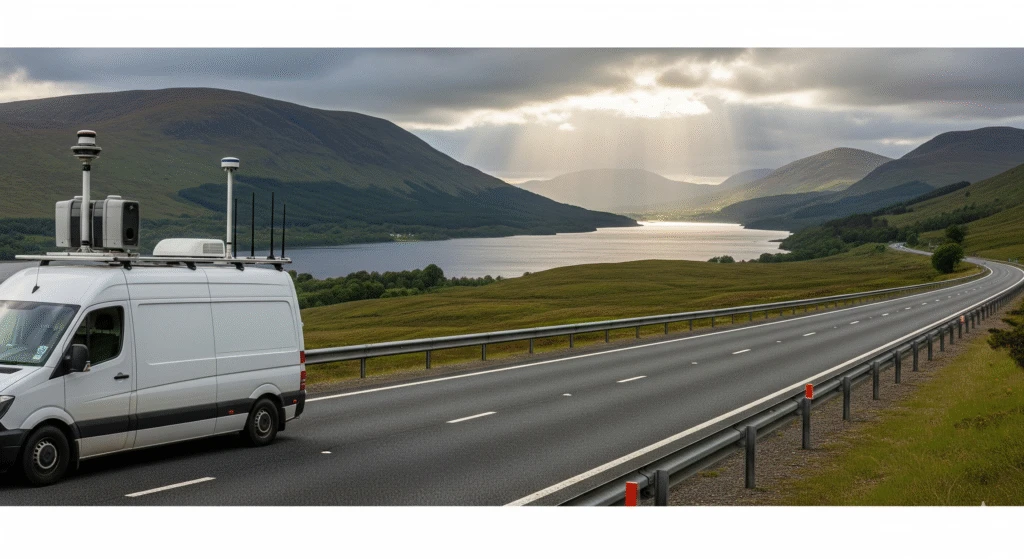
Mobile mapping with LiDAR and panoramic imaging
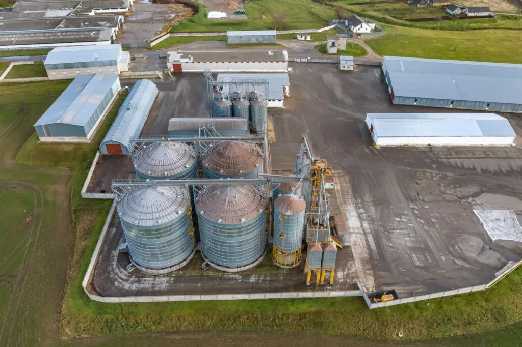
Drone surveys and photogrammetry
3D tank surveys for deformation and bund capacity
Specialist Survey Types
We offer a range of specialist surveys, including:
GPR & Utility Detection
Topographical Surveys
Storage Tank Surveys
3D Laser Scanning
Mobile Mapping
Our Surveying Technologies
We use a range of technologies for our surveys, including:
Ground Penetrating Radar (GPR) and PAS128 utility mapping
Total station and GNSS topographical surveys
3D laser scanning and point cloud modelling
Mobile mapping with LiDAR and panoramic imaging
Drone surveys and photogrammetry
3D tank surveys for deformation and bund capacity
Specialist Survey Types
We offer a range of specialist surveys, including:
GPR & Utility Detection
Topographical Surveys
Storage Tank Surveys
3D Laser Scanning
Mobile Mapping
Focused Surveying Services
Below are our specialised Surveying services. For more detailed support, visit our focused service pages.
3D Laser Scanning
High-Accuracy Spatial Data for Engineering, Design & Compliance