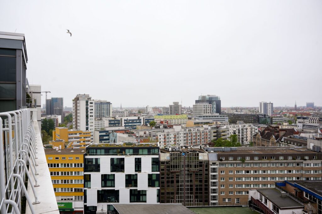
Air Quality
Multidisciplinary Surveying for High-Hazard, Industrial and Infrastructure Sites
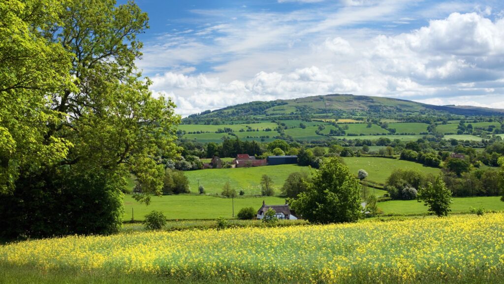
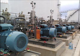
Arthian provides precision surveying services for complex sites across the UK, combining advanced measurement technologies with deep sector knowledge. Our surveys support planning, permitting, asset management and regulatory compliance, especially for COMAH, environmental and structural risk contexts.
We work across sectors including:
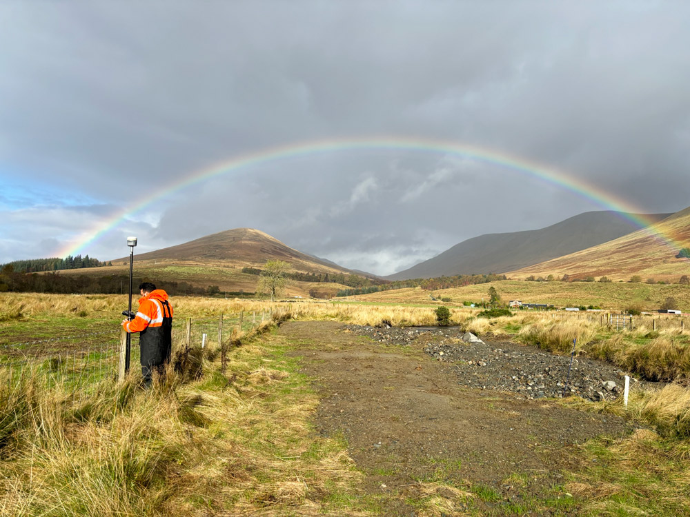
Our team delivers high-accuracy data for land and site boundaries, underground utilities and buried services, topography, elevation and contours, storage tanks and bunds, buildings, structures and façades, and roads, rail and hardstanding assets.
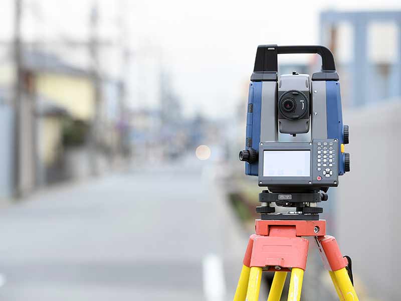
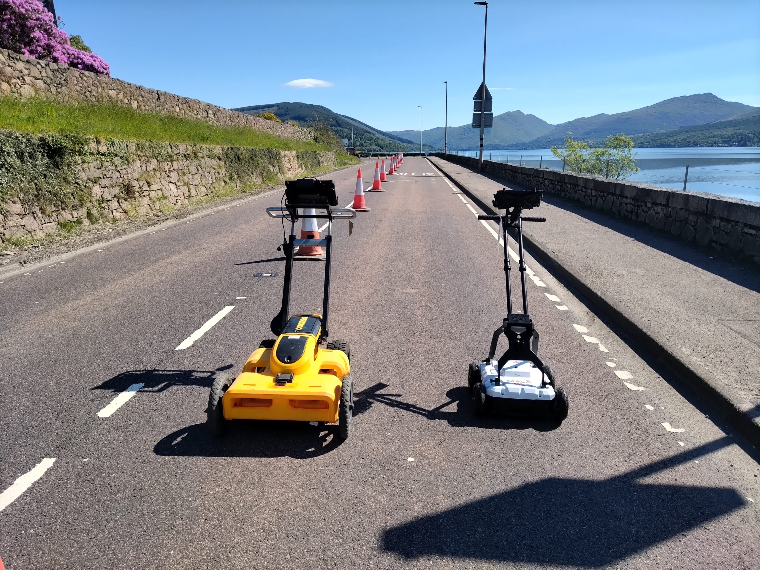
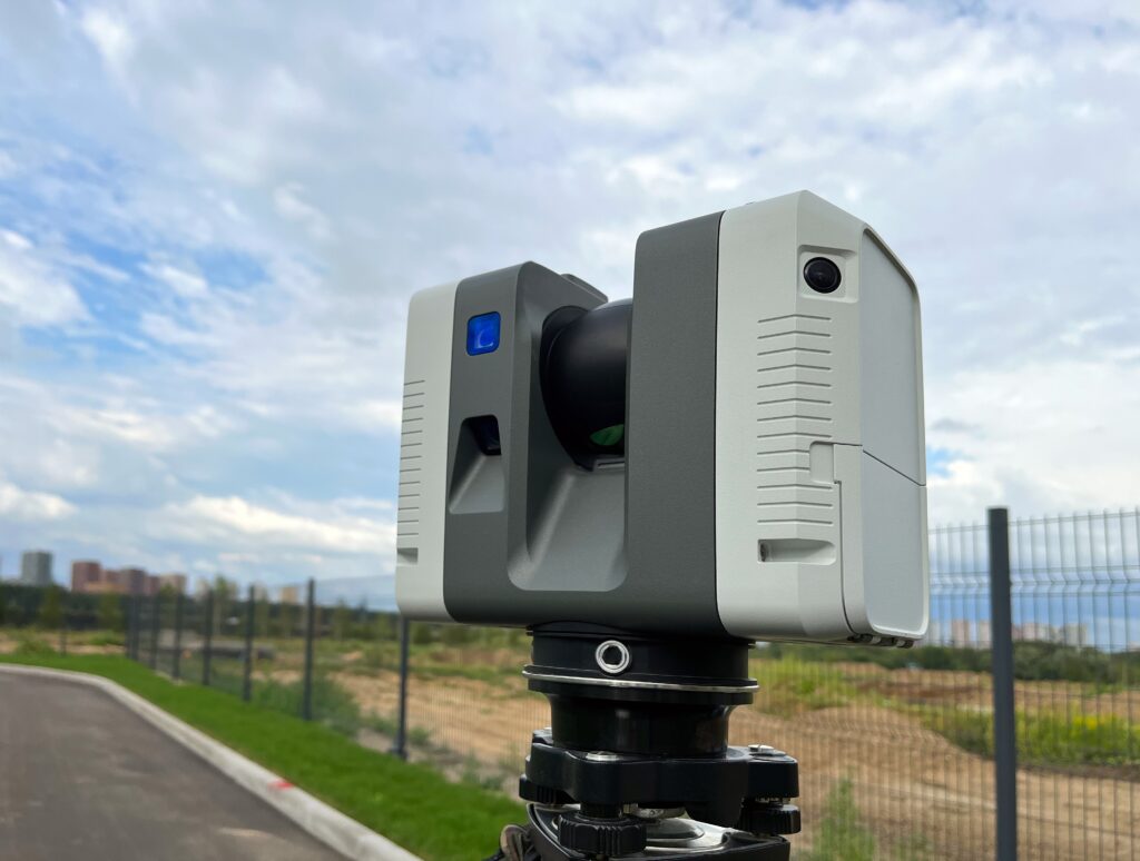
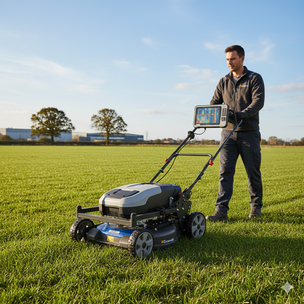
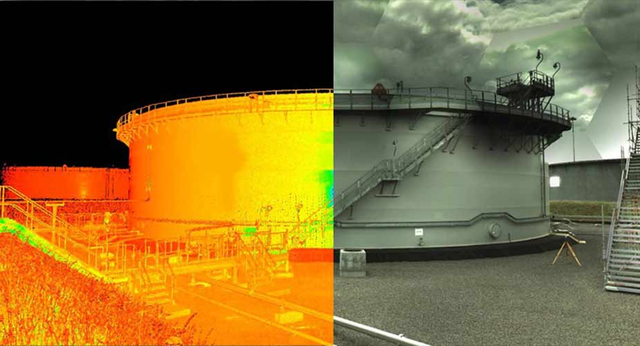
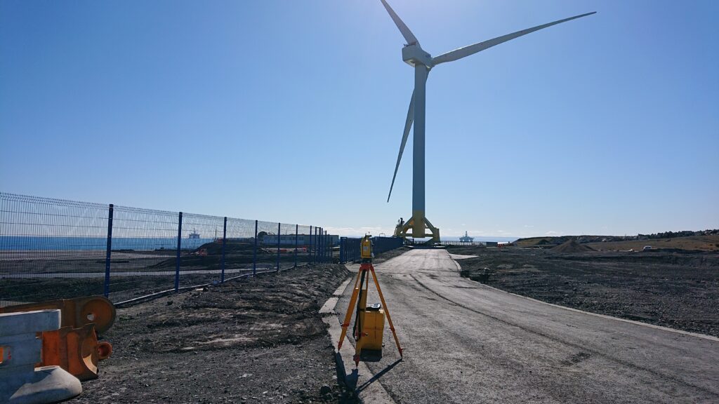
We use a range of technologies for our surveys, including:
We offer a range of specialist surveys, including:
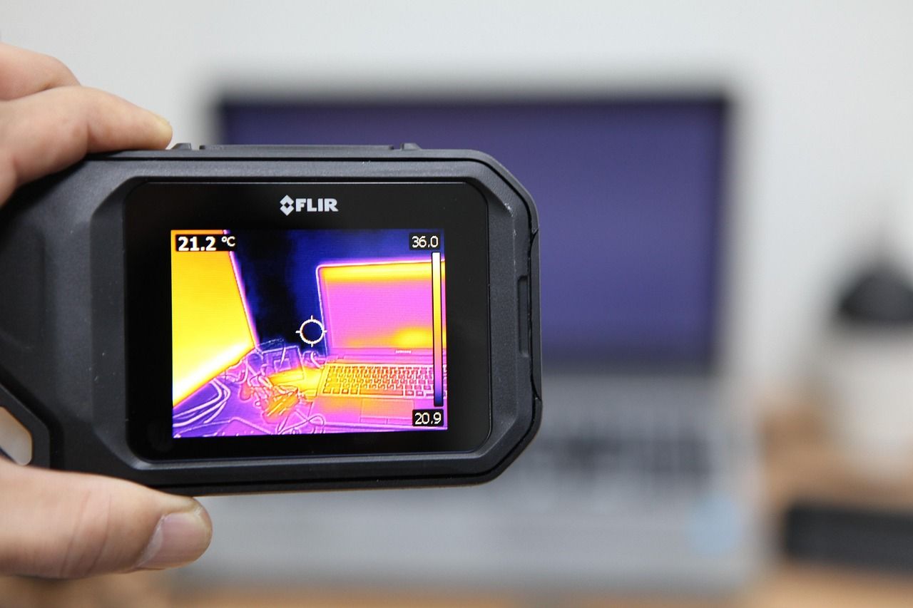
We use a range of technologies for our surveys, including:
We offer a range of specialist surveys, including:
Below are our specialised Surveying services. For more detailed support, visit our focused service pages.

Fast, Safe & Accurate Data Capture for Roads, Infrastructure & Asset Management

Deep understanding of planning, infrastructure, and environmental interfaces.

National experience with regional insight and regulatory familiarity.

Fully integrated with geotechnical, hydrological, and ecological disciplines.

Commitment to technical rigour, clear communication, and long-term outcomes.
We’d love to hear from you – whether you have a question, a project in mind, want to explore job opportunities, or just want to say hello.