Civil Engineering
Temporary Works

Integrated Water Environment Services for Development & Infrastructure
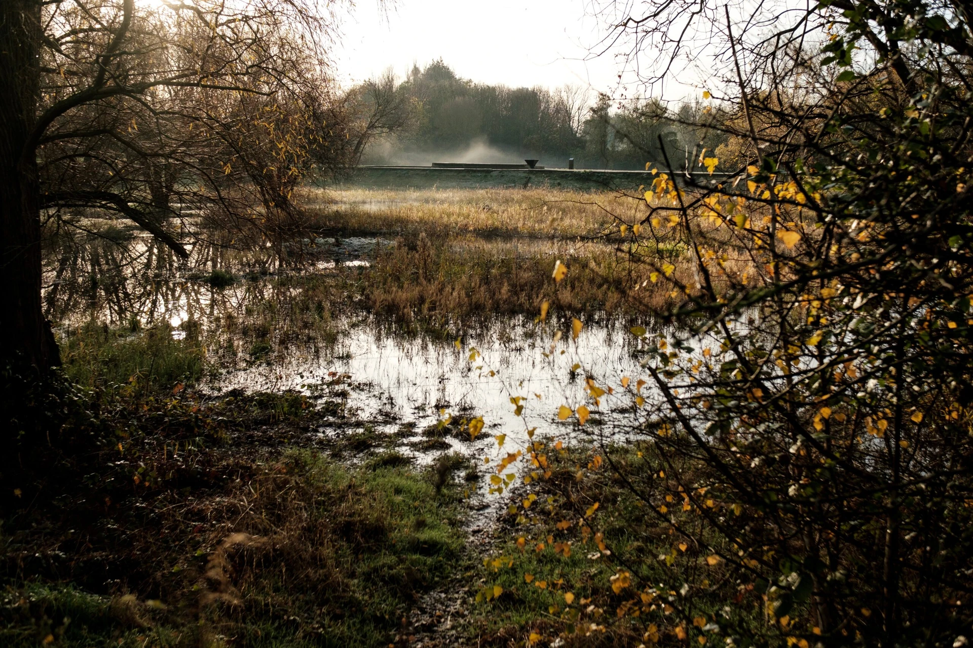
At Arthian, our consultants deliver hydrology and hydrogeology services to support planning applications, environmental permitting and risk assessments. Whether you’re developing housing, infrastructure or industrial sites, we assess how water moves through and interacts with your site—above and below ground.
We support:
Our services are tailored to your site, sector and regulatory context—ensuring compliance, resilience and long-term performance.
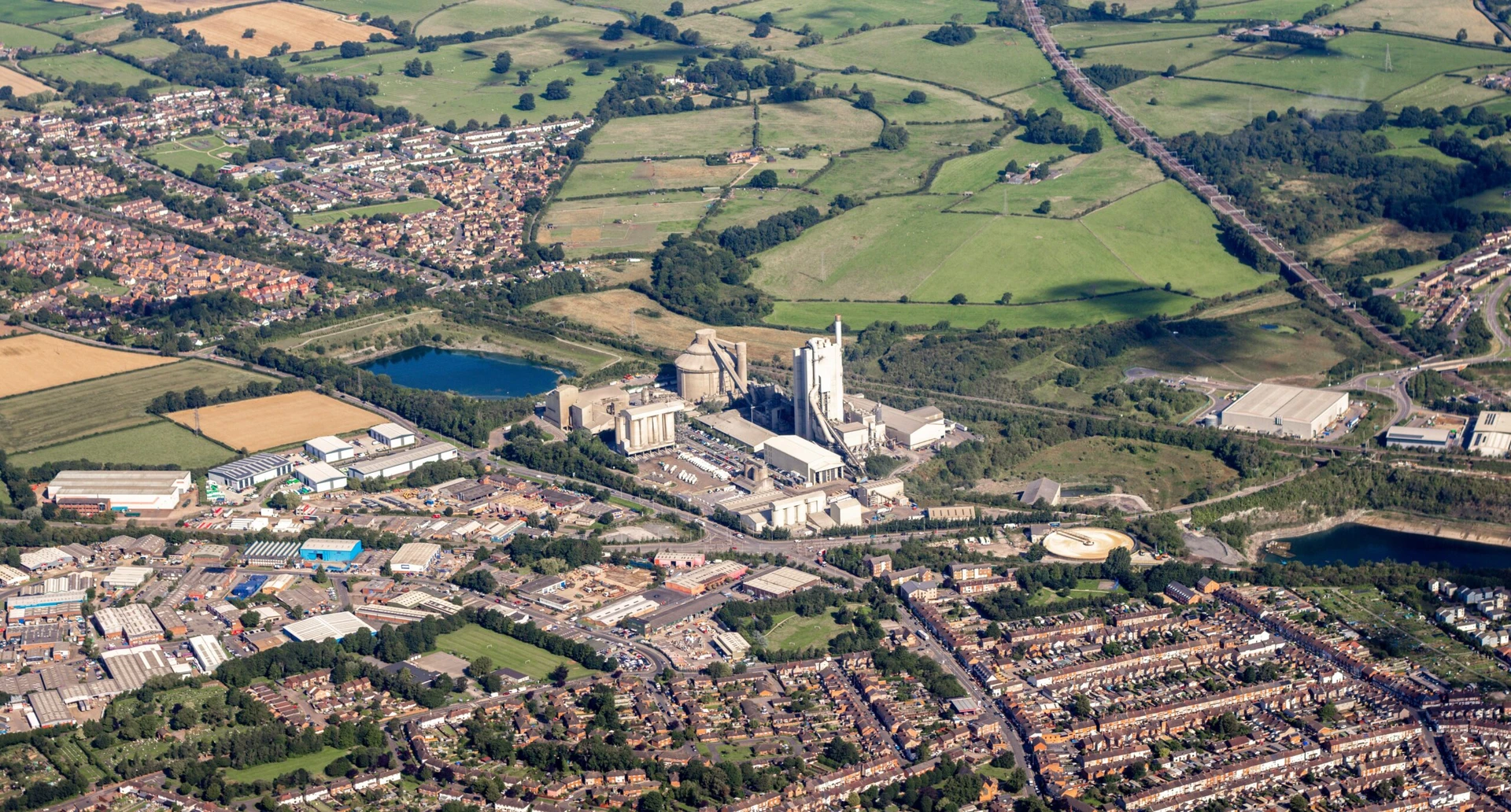
We offer a comprehensive suite of water environment services to support planning, permitting and environmental compliance. Our team delivers hydrological and hydrogeological assessments for EIA and PPC/EPR permitting, alongside water quality and quantity evaluations tailored to site and sector. We model surface water flows and catchment dynamics, assess risks to Groundwater Dependent Terrestrial Ecosystems (GWDTEs), and evaluate private water supply vulnerabilities.
Our services also include Water Framework Directive (WFD) compliance support and surface water quality risk assessments. We integrate these services with flood risk, SuDS and drainage strategy to provide joined-up environmental oversight. Additional capabilities include BRE365 soakaway testing, Natural Flood Management (NFM) design, and pollution pathway modelling for land development and permitted sites.
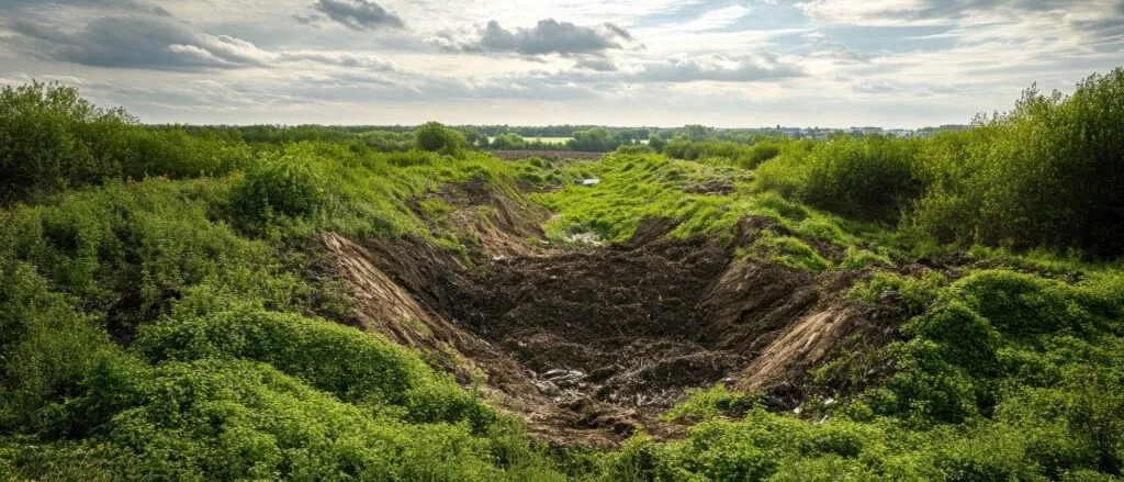
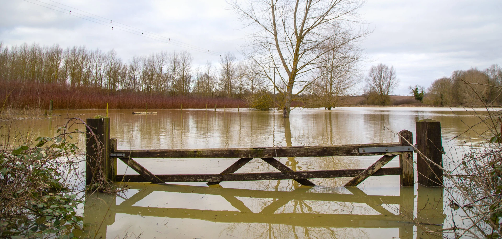
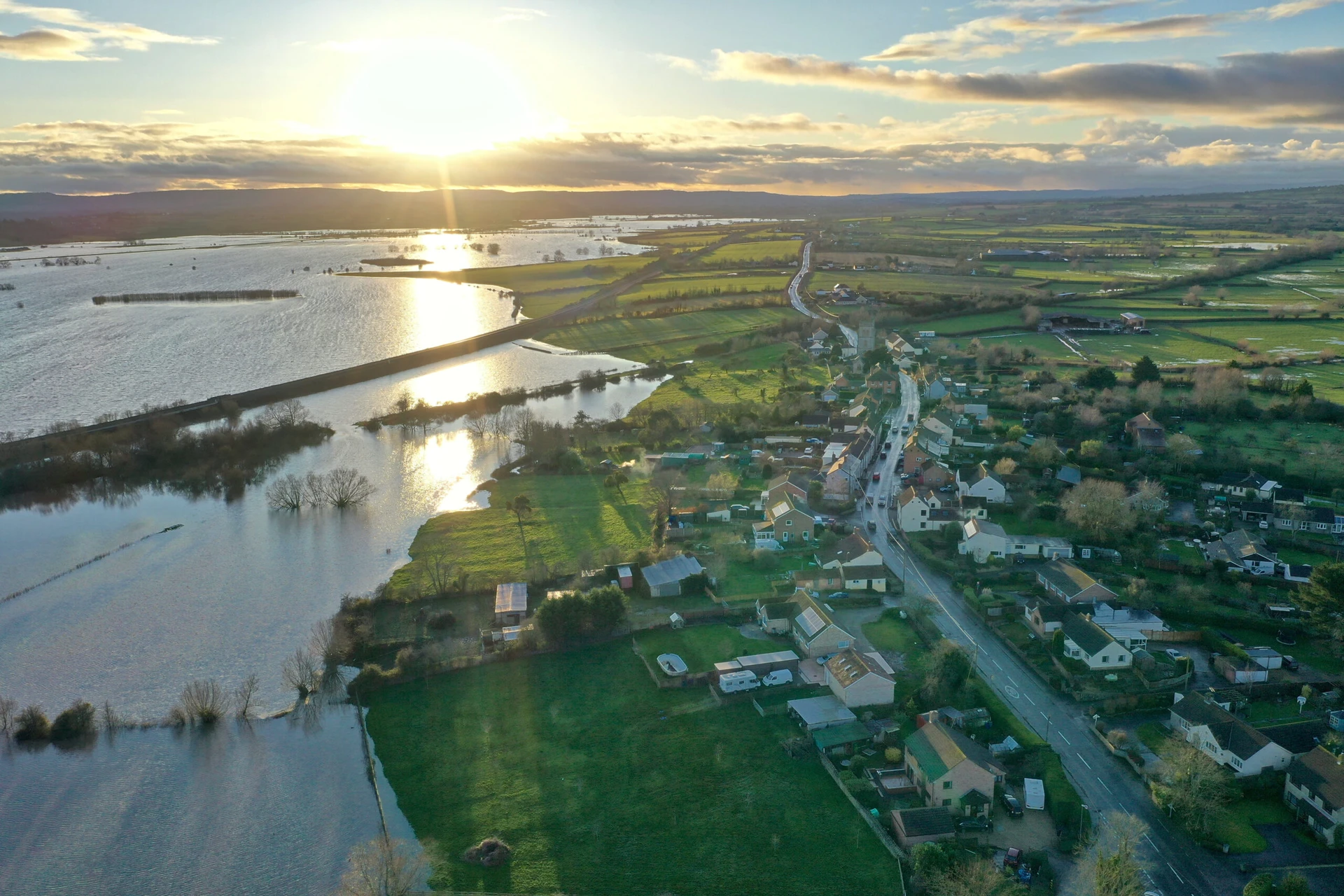
Flood Risk Assessments (FRAs) are a vital part of hydrological planning, particularly for developments located within flood zones. We deliver planning-ready assessments that evaluate flood risk based on site-specific conditions, including topography, watercourse proximity, and historical flood data. Each FRA is tailored to meet regulatory requirements, aligning with national planning policy and local authority guidance. Our reports provide clear, evidence-based recommendations to support safe and sustainable development, helping clients navigate the planning process with confidence and clarity.
Sequential & Exception Testing is a planning policy requirement for developments proposed in higher-risk flood zones, helping to ensure that flood vulnerability is properly considered. We carry out evidence-based testing to demonstrate that a site is suitable for development, beginning with the Sequential Test to confirm that no reasonably available sites at lower flood risk exist. Where needed, the Exception Test is applied to justify development by showing wider sustainability benefits and confirming that the site can be made safe for its lifetime. All assessments are aligned with national planning policy, supporting robust decision-making and planning approval.
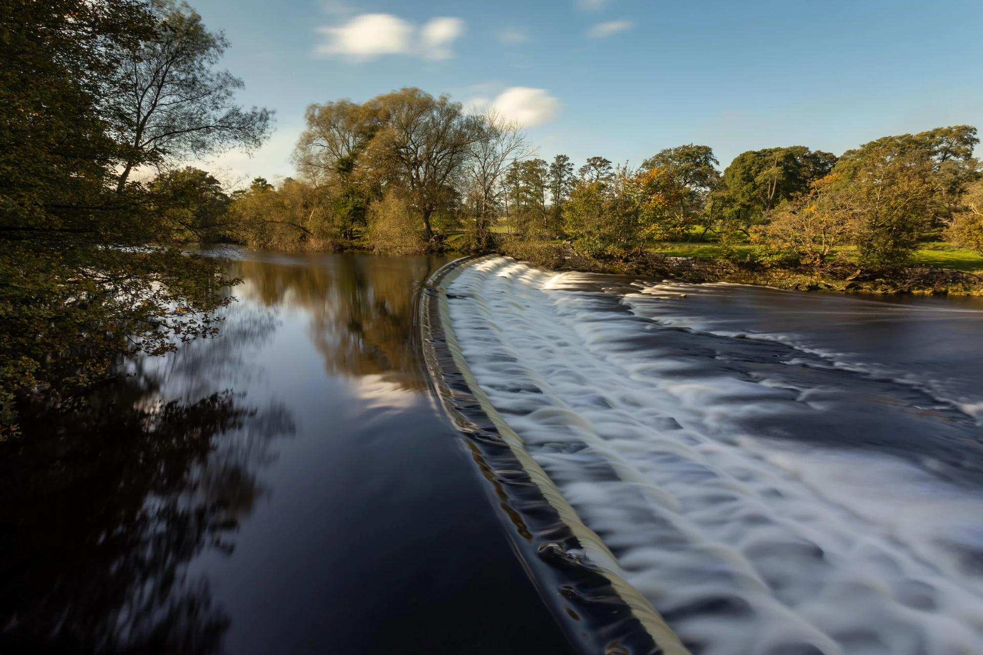
Hydraulic Modelling & Mapping provides advanced analysis of flood behaviour to support site design, risk assessment, and regulatory approval. Using industry-standard tools such as HEC-RAS, TUFLOW, and InfoWorks, we simulate flood extents, depths, and flow paths under a range of conditions. These models help inform infrastructure layout, mitigation design, and emergency planning. We also support applications for Flood Risk Activity Permits and liaise with regulators across the UK to ensure modelling outputs meet technical standards and facilitate smooth permitting and planning processes.
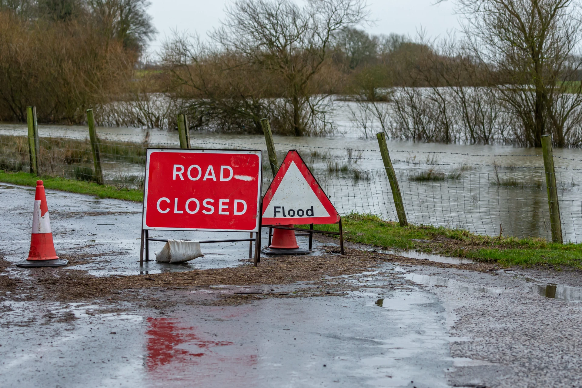
Flood Mitigation & Resilience Design focuses on reducing flood impacts and enhancing the long-term viability of development sites. Our team designs tailored flood defences, resilient site layouts, and mitigation strategies that respond to site-specific risks and regulatory requirements. This includes measures such as raised floor levels, flood barriers, attenuation features, and safe access routes. By integrating resilience into the early stages of design, we help clients protect assets, meet planning conditions, and future-proof developments against increasing flood risk and climate uncertainty.
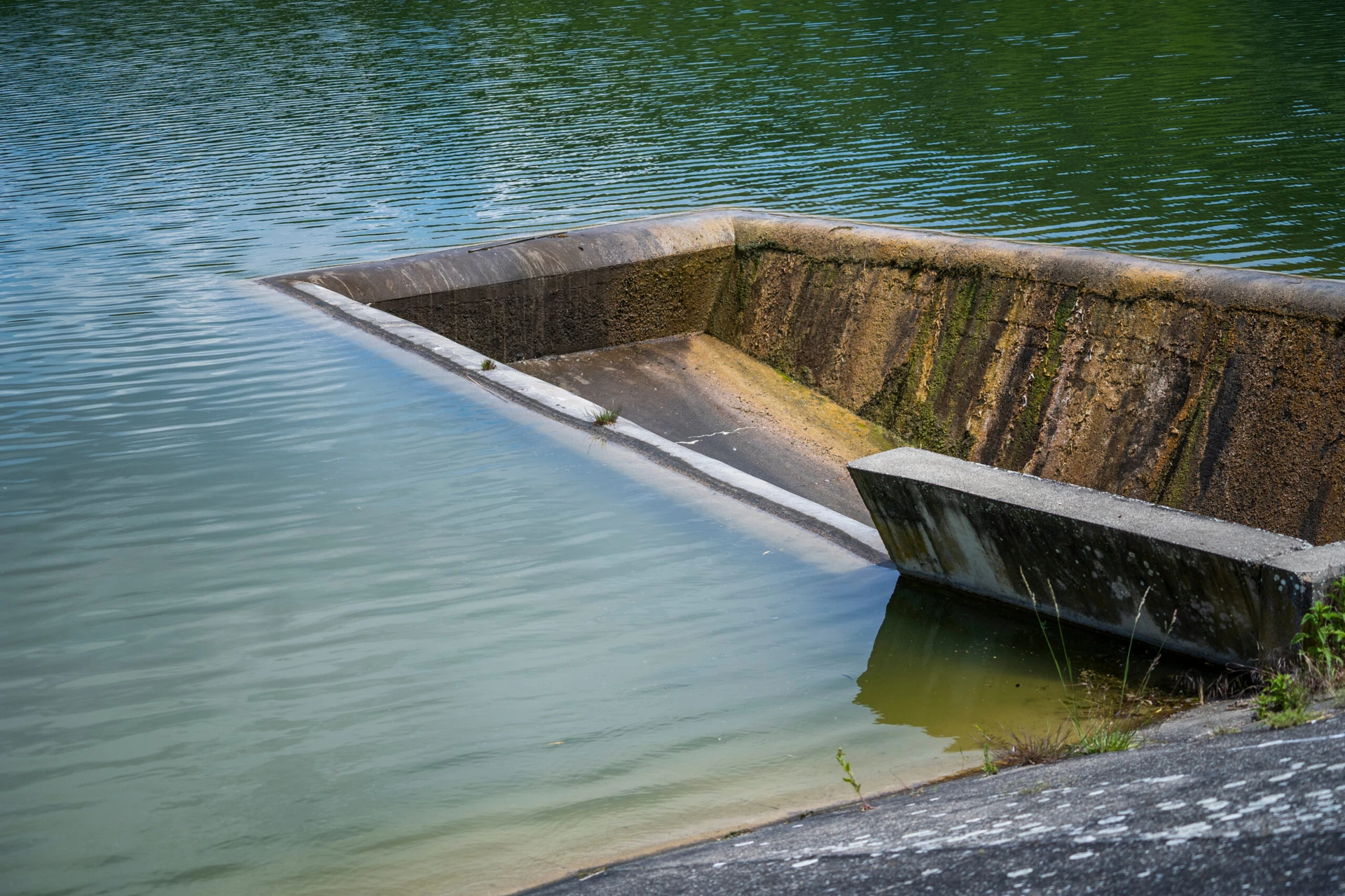
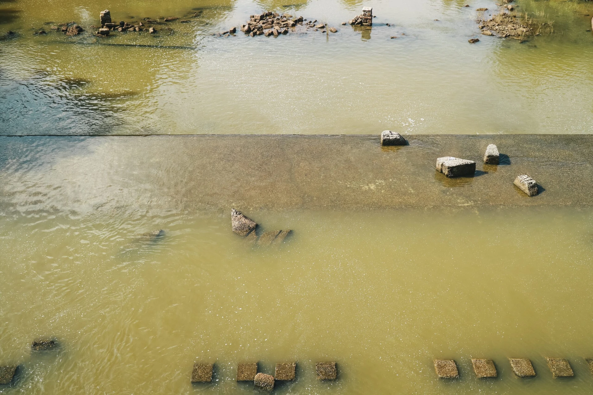
SuDS & Surface Water Management plays a vital role in reducing flood risk, improving water quality, and supporting sustainable development. We design and implement Sustainable Drainage Systems (SuDS) that manage surface water runoff through features such as swales, permeable paving, detention basins, and green roofs. These systems are tailored to site conditions and integrated with wider hydrological strategies to meet planning and environmental standards. Our approach helps control flow rates, reduce pollution, and enhance biodiversity, while supporting compliance with national and local drainage policies.
We assess the potential impacts of development on local drainage systems and provide expert support in securing flood risk activity permits from the Environment Agency (EA), the Scottish Environment Protection Agency (SEPA), and Lead Local Flood Authorities (LLFAs). Our team liaises directly with regulators to ensure compliance, streamline approvals, and help clients navigate complex permitting requirements with confidence.
We offer rapid screening of multiple sites to help identify flood risk constraints early in the planning process. This allows clients to prioritise detailed assessments where they’re most needed and make informed decisions about land strategy and development potential. Our approach supports smarter, faster choices across large or complex portfolios.
Flood Risk Assessments (FRAs) are a vital part of hydrological planning, particularly for developments located within flood zones. We deliver planning-ready assessments that evaluate flood risk based on site-specific conditions, including topography, watercourse proximity, and historical flood data. Each FRA is tailored to meet regulatory requirements, aligning with national planning policy and local authority guidance. Our reports provide clear, evidence-based recommendations to support safe and sustainable development, helping clients navigate the planning process with confidence and clarity.
Sequential & Exception Testing is a planning policy requirement for developments proposed in higher-risk flood zones, helping to ensure that flood vulnerability is properly considered. We carry out evidence-based testing to demonstrate that a site is suitable for development, beginning with the Sequential Test to confirm that no reasonably available sites at lower flood risk exist. Where needed, the Exception Test is applied to justify development by showing wider sustainability benefits and confirming that the site can be made safe for its lifetime. All assessments are aligned with national planning policy, supporting robust decision-making and planning approval.
Hydraulic Modelling & Mapping provides advanced analysis of flood behaviour to support site design, risk assessment, and regulatory approval. Using industry-standard tools such as HEC-RAS, TUFLOW, and InfoWorks, we simulate flood extents, depths, and flow paths under a range of conditions. These models help inform infrastructure layout, mitigation design, and emergency planning. We also support applications for Flood Risk Activity Permits and liaise with regulators across the UK to ensure modelling outputs meet technical standards and facilitate smooth permitting and planning processes.
Flood Mitigation & Resilience Design focuses on reducing flood impacts and enhancing the long-term viability of development sites. Our team designs tailored flood defences, resilient site layouts, and mitigation strategies that respond to site-specific risks and regulatory requirements. This includes measures such as raised floor levels, flood barriers, attenuation features, and safe access routes. By integrating resilience into the early stages of design, we help clients protect assets, meet planning conditions, and future-proof developments against increasing flood risk and climate uncertainty.
SuDS & Surface Water Management plays a vital role in reducing flood risk, improving water quality, and supporting sustainable development. We design and implement Sustainable Drainage Systems (SuDS) that manage surface water runoff through features such as swales, permeable paving, detention basins, and green roofs. These systems are tailored to site conditions and integrated with wider hydrological strategies to meet planning and environmental standards. Our approach helps control flow rates, reduce pollution, and enhance biodiversity, while supporting compliance with national and local drainage policies.
We assess the potential impacts of development on local drainage systems and provide expert support in securing flood risk activity permits from the Environment Agency (EA), the Scottish Environment Protection Agency (SEPA), and Lead Local Flood Authorities (LLFAs). Our team liaises directly with regulators to ensure compliance, streamline approvals, and help clients navigate complex permitting requirements with confidence.
We offer rapid screening of multiple sites to help identify flood risk constraints early in the planning process. This allows clients to prioritise detailed assessments where they’re most needed and make informed decisions about land strategy and development potential. Our approach supports smarter, faster choices across large or complex portfolios.

Deep understanding of planning, infrastructure, and environmental interfaces.

National experience with regional insight and regulatory familiarity.

Fully integrated with geotechnical, hydrological, and ecological disciplines.

Commitment to technical rigour, clear communication, and long-term outcomes.
Yes—if your site affects watercourses, wetlands or catchments, a hydrological assessment may be required to support planning or EIA.
It evaluates how your development may impact the quality of groundwater resources, flow paths or receptors—often required for land development projects and PPC/EPR permitting.
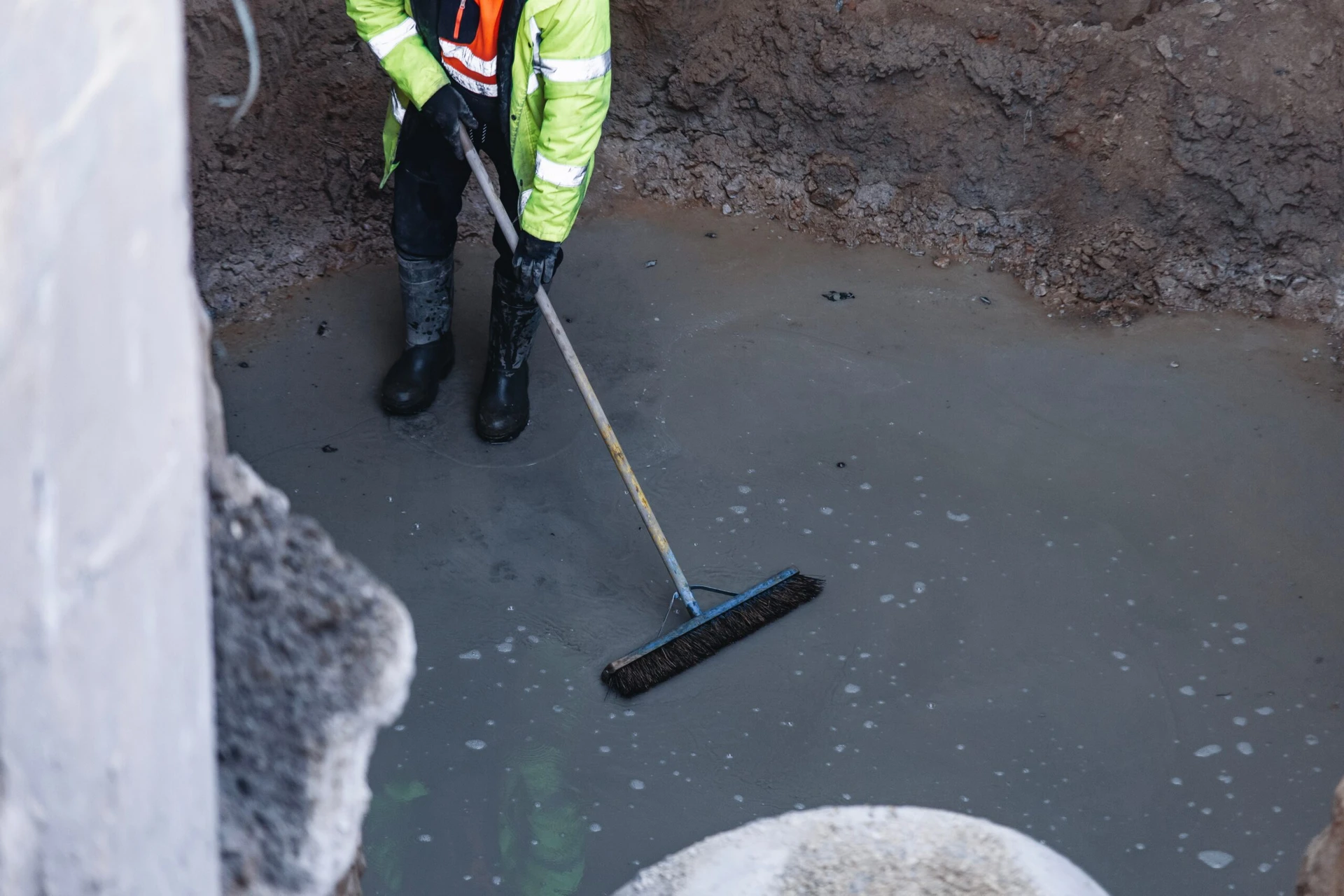
Absolutely. We design and deliver monitoring programmes and borehole investigations tailored to your site and regulatory needs.
Yes—we specialise in water environment assessments for linear schemes across roads, rails and utilities.
We’d love to hear from you – whether you have a question, a project in mind, want to explore job opportunities, or just want to say hello.