What We Survey
- Ground levels and contours
- Buildings, structures and access points
- Roads, paths and hardstanding
- Drainage and utility covers
- Trees, embankments and natural features
- Adjacent site features and boundaries
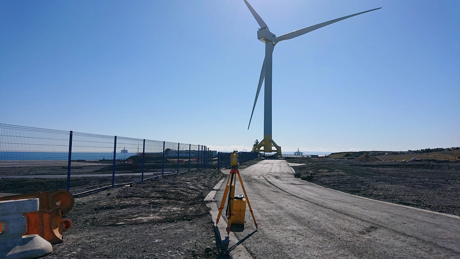
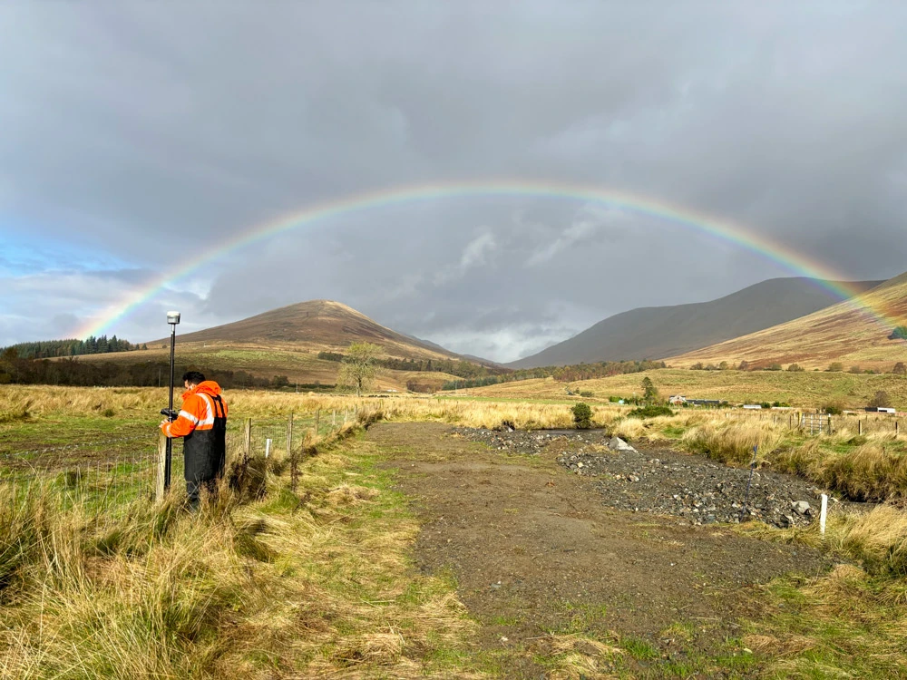
Accurate Terrain Data for Planning, Design & Risk Management
Arthian delivers high-accuracy topographical surveys for industrial, infrastructure and high-hazard sites across the UK. Our surveys provide detailed mapping of natural and built features, enabling informed decisions for planning, permitting, engineering and environmental risk management.
A comprehensive look at our services:

Fully integrated with geotechnical, hydrological, and ecological disciplines.

National experience with regional insight and regulatory familiarity.

Deep understanding of planning, infrastructure, and environmental interfaces.

Commitment to technical rigour, clear communication, and long-term outcomes.
A topographical survey maps the physical features of a site—natural and man-made—including elevations, contours, structures and utilities. It provides essential data for planning, design and risk assessment.
Yes—our team integrates topographical and GPR data to deliver comprehensive site mapping for excavation, design and permitting.
Absolutely. We deliver digital terrain models and elevation data in 3D formats suitable for BIM, GIS and engineering design.
Yes—our surveys can be referenced to OS National Grid and Ordnance Datum using GNSS equipment and control points.
We’d love to hear from you – whether you have a question, a project in mind, want to explore job opportunities, or just want to say hello.