


Flood Risk Assessments (FRA)
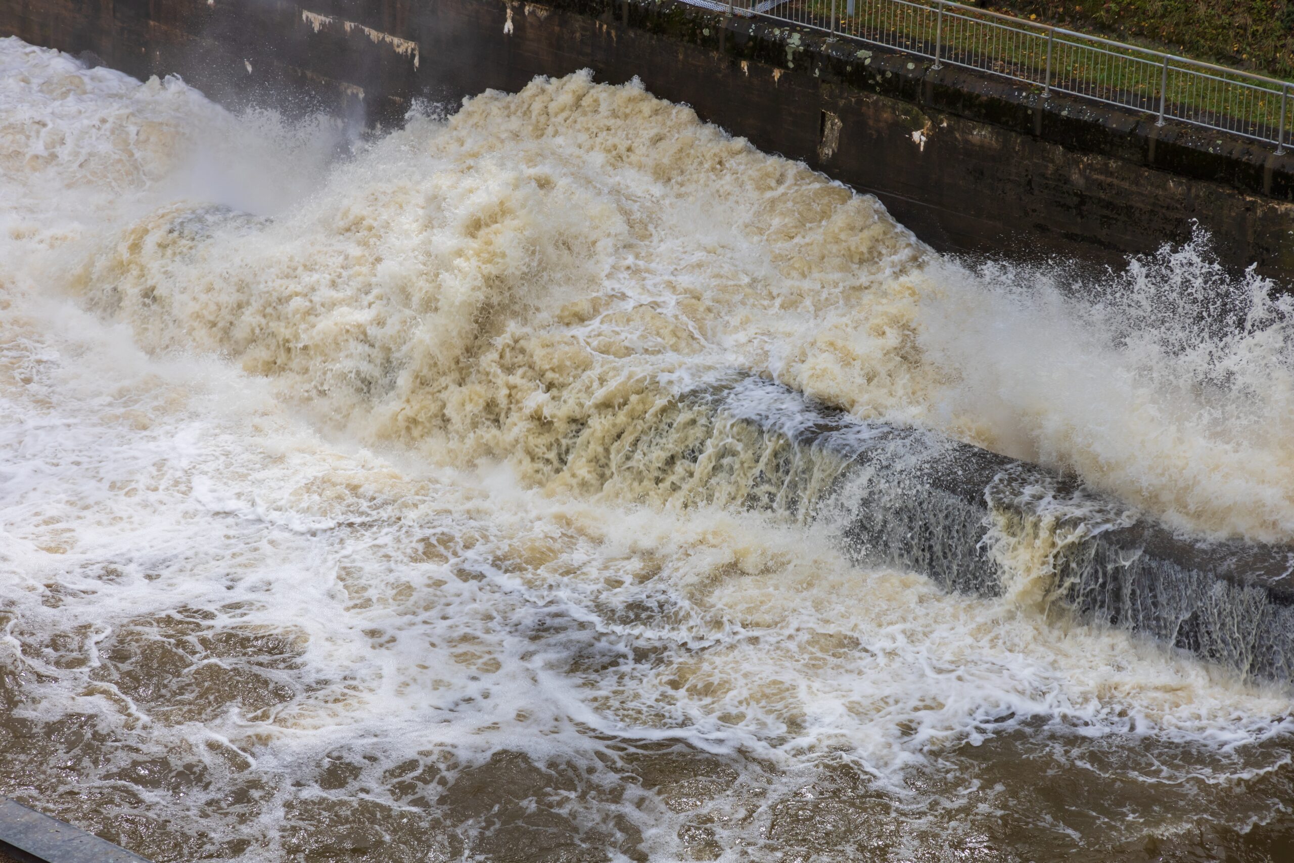
Flood Risk Assessments (FRAs) are essential for understanding and managing flood risk in support of planning applications, particularly for sites located within designated flood zones. We deliver planning-ready assessments that evaluate potential sources of flooding—such as rivers, surface water, groundwater, and coastal systems—and assess the impact on proposed developments.
Our reports include site-specific modelling, mitigation recommendations, and alignment with national and local planning policy, helping to demonstrate that flood risk has been appropriately considered and managed. This supports informed decision-making and smooth progression through the planning process.